Full Transparency: Review the Developer’s Submittal and Our Planning Board Brief Side-by-Side
Ahead of this week’s Chatham County Planning Board review of the Fearrington Preserve rezoning request (CD-CC-2026), we believe community members deserve unedited access to all primary submittals.
Below, you can review the complete document submitted by the developer’s team in response to prior public comments, alongside the technical brief Smart Chatham has formally submitted to the Planning Board rebutting those claims. Examine the facts, compare the ordinance standards, and draw your own conclusions before the upcoming public hearing.
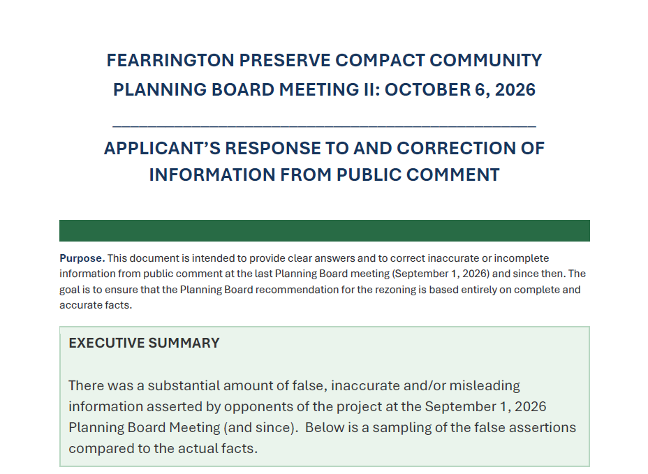
1. The Developer's Response Document
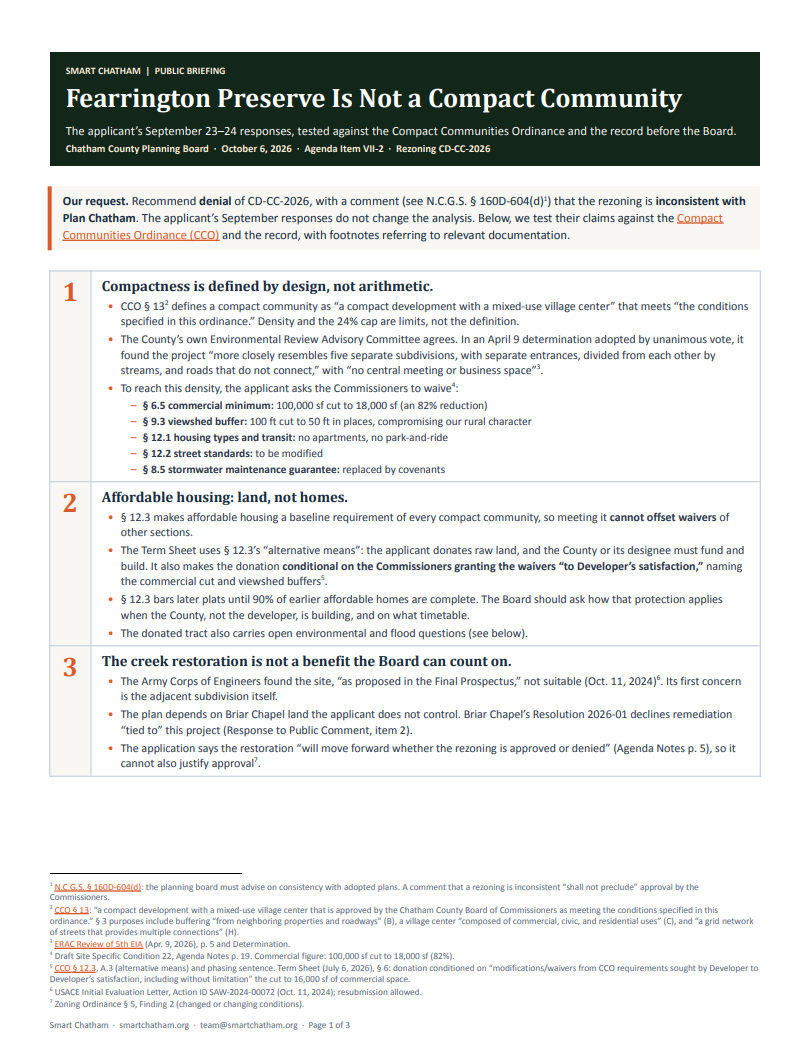
2. Smart Chatham Rebuttal Brief
Why We Posted Both Documents: Key Policy Contrasts
When tested against Chatham County's Compact Communities Ordinance (CCO) and the official public record, several core claims made by the applicant require objective technical scrutiny:
1. Compactness: Design vs. Arithmetic
Developer Claim: Compactness is defined strictly by meeting broad numerical limits on overall density, net density, and impervious surface percentages.
Ordinance Reality: CCO § 132 defines a compact community by design—requiring an integrated, walkable mixed-use village center, a connected street grid, and balanced housing types. The site plan splits 630 homes into isolated pods separated by floodplains and roads, while requesting waivers to slash commercial space by ~82% (from 100,000 sq. ft. down to 18,000 sq. ft.) and cut viewshed buffers in half.
2. Affordable Housing Structure
Developer Claim: The project fulfills inclusionary commitments through an affordable housing land donation.
Ordinance Reality: Under CCO § 12.3, affordable housing is a baseline requirement for all compact community proposals, not a trade-off to justify waiving core commercial or environmental buffers. Furthermore, the term sheet transfers the multi-million dollar vertical construction and long-term financing burden entirely onto county taxpayers and non-profit partners.
3. Pokeberry Creek Stream Mitigation
Developer Claim: Stream restoration along Pokeberry Creek will deliver substantial environmental benefits to the watershed.
Ordinance Reality: The U.S. Army Corps of Engineers determined the restoration prospectus was not suitable as proposed due to unaddressed site risks. Additionally, the plan relies on access to downstream Briar Chapel HOA land that is not under applicant control.
4. School Corridor Infrastructure & Traffic
Developer Claim: Over 50 roadway improvements fully mitigate traffic impacts along school corridors.
Ordinance Reality: Key intersection assumptions rely on NCDOT state STIP highway projects that the developer neither builds nor funds. Draft conditions set no construction schedule, bonding guarantees, or explicit requirement to construct proposed roundabouts prior to building homes.